This week in geography
We will finish cultural presentations and begin our Central & South American unit.
Objectives
During class you will listen to presentations, play games, watch videos, work on map packets, prepare country/cultural presentations and test your knowledge of the things we are learning.
The class will be broken down into 6 units
For each unit you will complete the following:
Grading will be based on the following criteria:
Expectation
- Be familiar with the political and physical geography of the world.
- Learn about other cultures and people.
- Hone your presentation skills.
During class you will listen to presentations, play games, watch videos, work on map packets, prepare country/cultural presentations and test your knowledge of the things we are learning.
The class will be broken down into 6 units
- North America
- South America
- Europe
- Oceans, Seas & Island Nations
- Asia
- Africa
For each unit you will complete the following:
- A country/cultural presentation
- Map packet
Grading will be based on the following criteria:
- A country/cultural presentation 30%
- Class participation 25%
- Map packet 20%
- Weekly quizzes 15%
- Final at the end of each quarter 10%
Expectation
- Come to class and participate. You will be able to complete your packets, presentations and test preparation in class, if you participate.
- Follow the Rules of Common Courtesy (more on this in class).
- Help create a safe learning space by being kind and courteous to your fellow students.
- If you need help, ask. I’m a terrible mind reader.
- Have fun. I will do my best to make it interesting and fun.
CLASS WORK
November 21st
Work on presentations.
If you have forgotten your country please email me and let's get you back on track.
Work on presentations.
If you have forgotten your country please email me and let's get you back on track.
November 13th - 17th
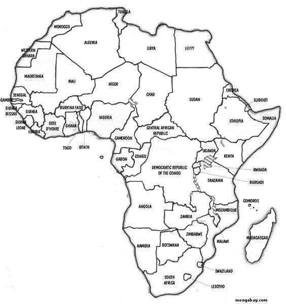
Maps and videos about Africa.
Maps and videos about Africa.
|
|
|
|
| ||||
November 6th - 10th
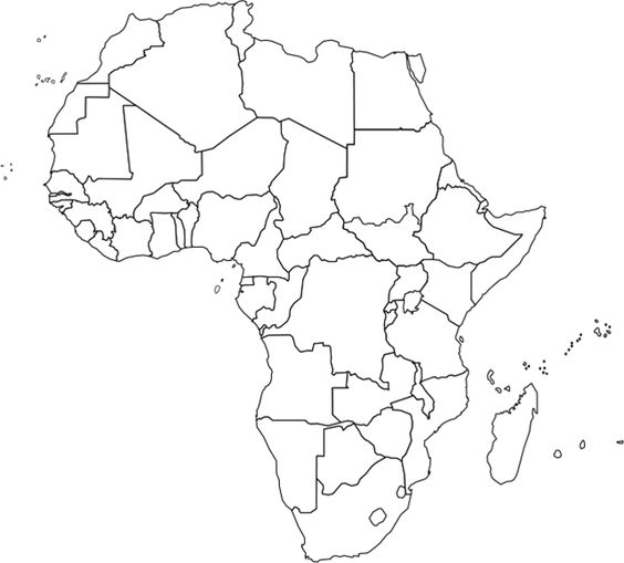
Start work on Africa
https://lizardpoint.com/geography/africa-quiz.php
Do the country and capitals quizzes.
Start work on Africa
https://lizardpoint.com/geography/africa-quiz.php
Do the country and capitals quizzes.
October 30th - November 3rd
Presentation time.
Presentation time.
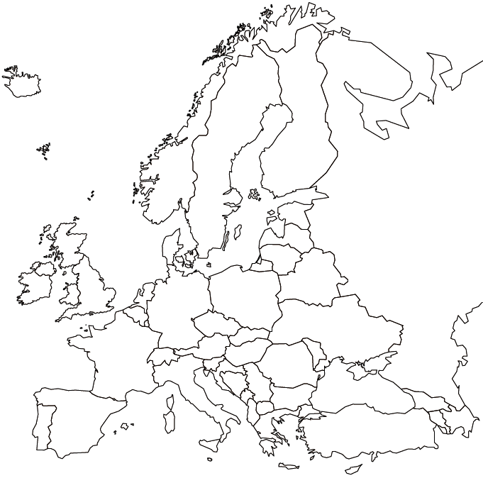
Thursday 10/26 We will compete in a country quiz to see who has mastered the European states and their location in the world.
Your maps you made will be your only reference source allowed.
Your maps you made will be your only reference source allowed.
Tuesday 10/24 We worked on labeling and color coding a map of Europe.
| europe.gif |
Tuesday 10/17 We worked on learning the European states and their capitals by completing the following online quizzes. Remember you need at least 85% to pass it off.
lizardpoint.com/geography/europe-quiz.php
lizardpoint.com/geography/europe-caps-quiz.php
lizardpoint.com/geography/europe-quiz.php
lizardpoint.com/geography/europe-caps-quiz.php
10/3-12 We have been preparing and presenting our country/cultural presentations. We have also been finishing up our map packets for the quarter.
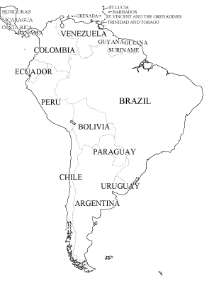
Thursday 9/28 We did the following quizzes at lizardpoint.com
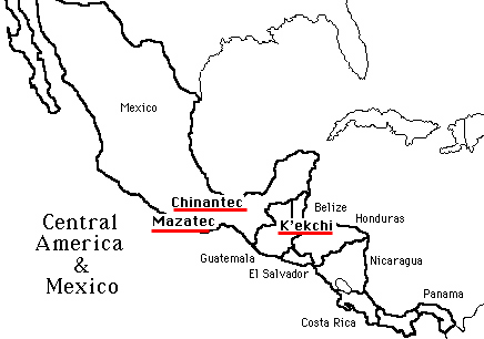
- The America
- Central America and parts of the Caribbean
- South American countries
- Central America country capitals
- Caribbean capitals
- South American country capitals
Color the maps to solidify the countries in your mind.
| southamerica.gif |
| centralamerica.jpg |
These are the items that need to be included in your presentation:
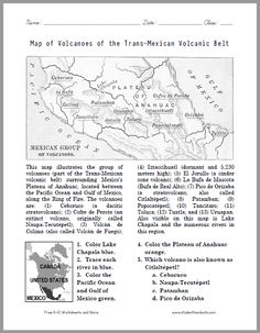
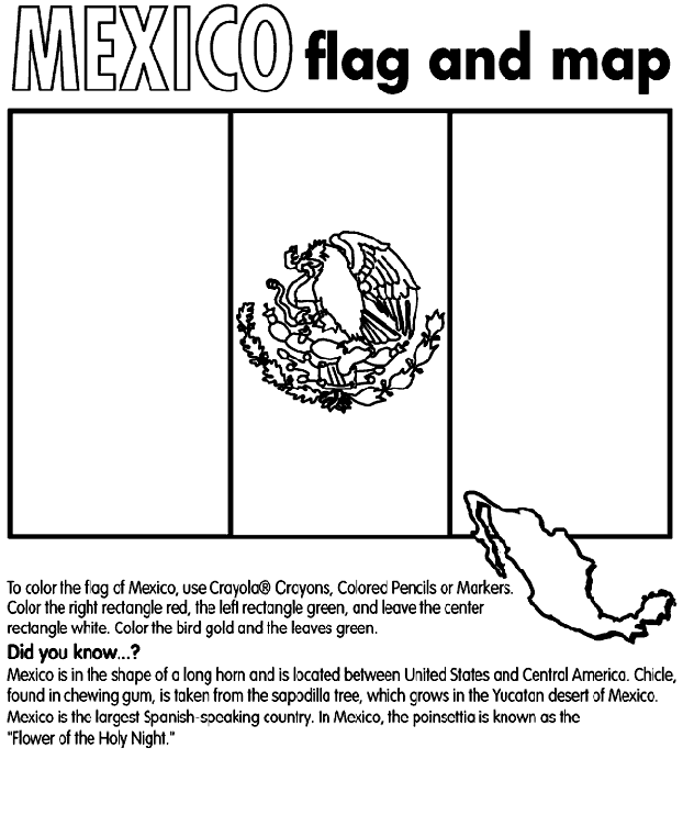
Worksheets about Mexico
| trans-mexican_volcanic_belt.jpg |
| |||
Fact hunts we did as an in class activity.
| america_scavenger_hunt.pdf |
| canada_scavenger_hunt2.pdf |
| mexico_scavenger_hunt2.pdf |
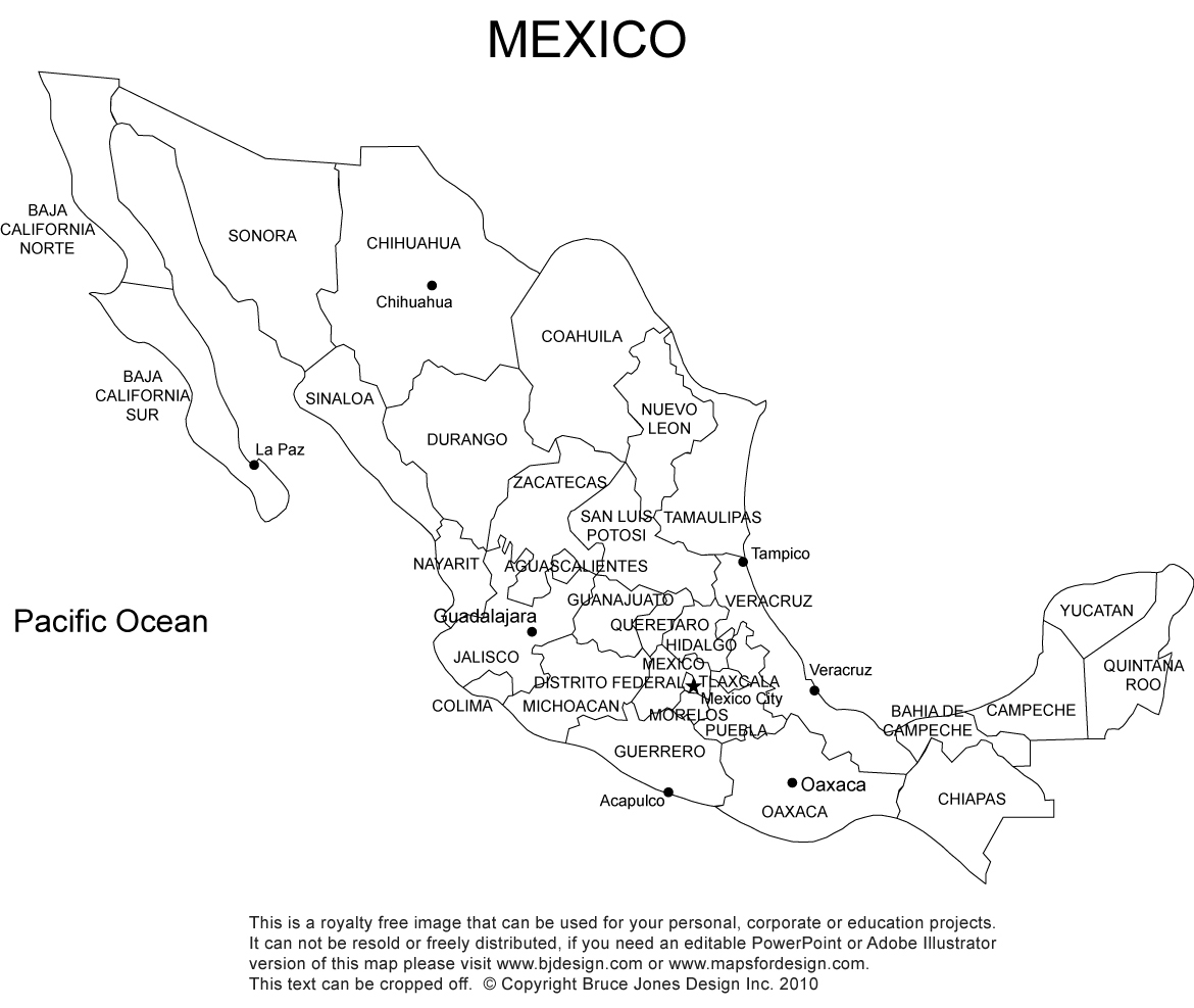
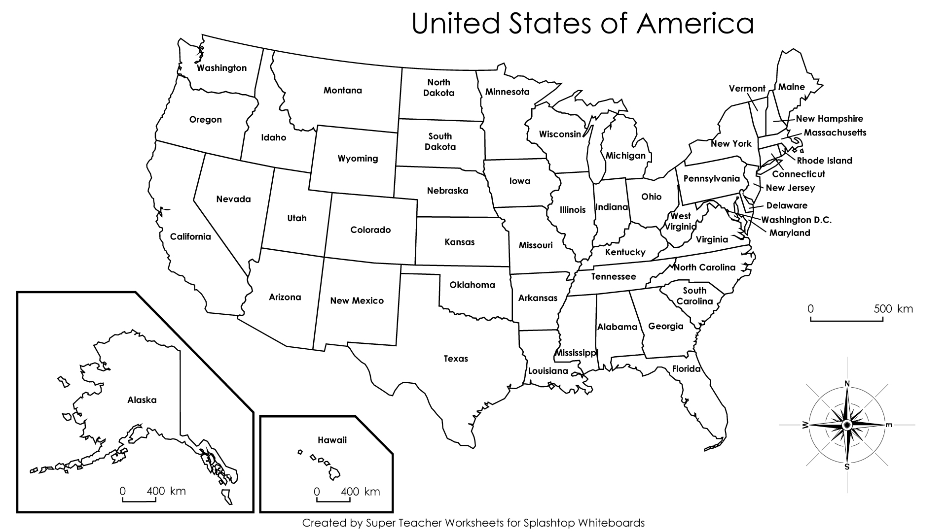
Here are the 3 maps that I handed out in class that you can color code however you want, to help you start to learn the states and provinces.
| mexico_labeled_map.jpg |
| canada-provinces_labeled.pdf |
| usa_labeled_map.jpg |
Here are the videos that we watched in class that you need to be familiar with for the quiz on Friday.
|
|
|
